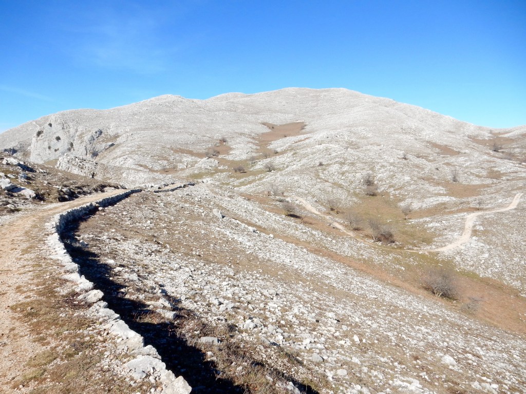
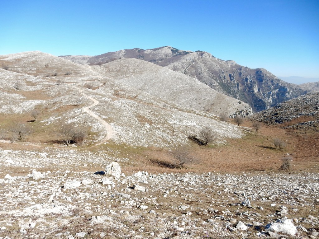
Start & Finish: Pornito refuge (above Marenola) / Sat Nav – parking & start of walk: 41.30583, 13.61921 / Start elevation: 795 m / Max elevation: 1204m / Gain: 512 m / Total distance: 8 km there and back / Typical Duration: 2-3 hours / Category: Difficult
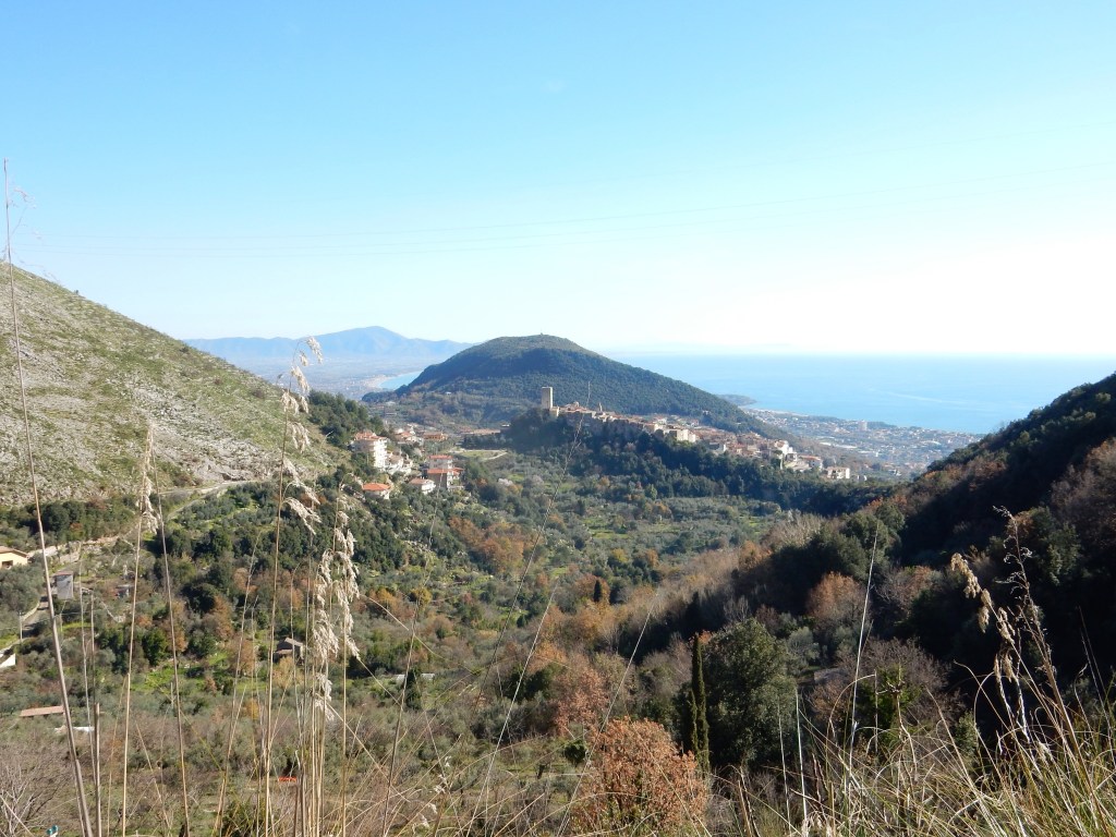
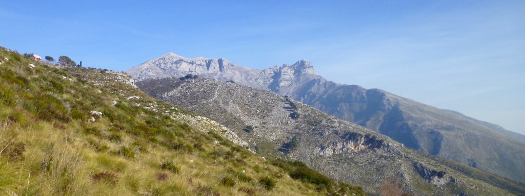
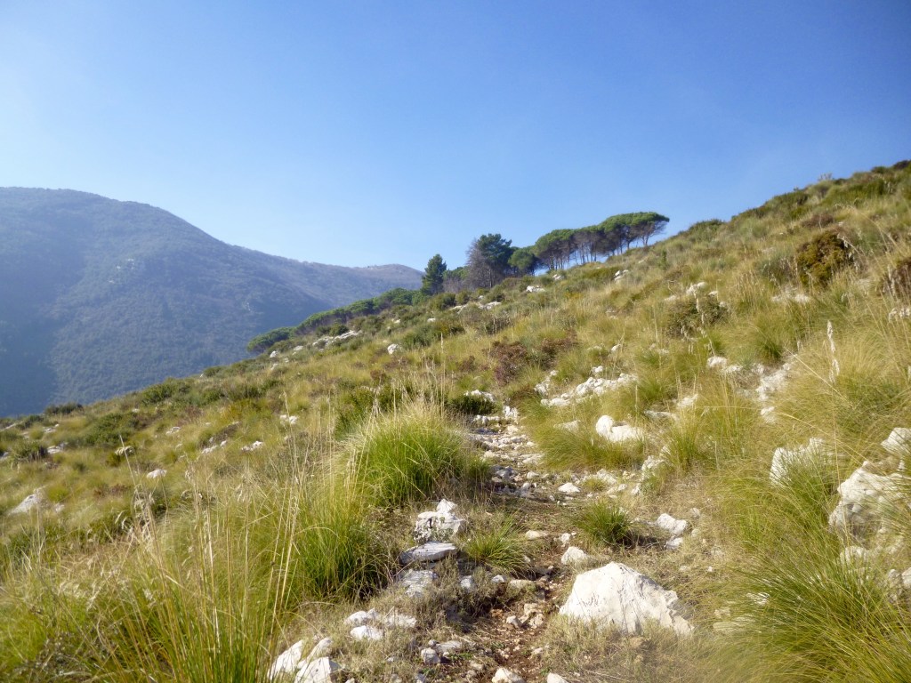
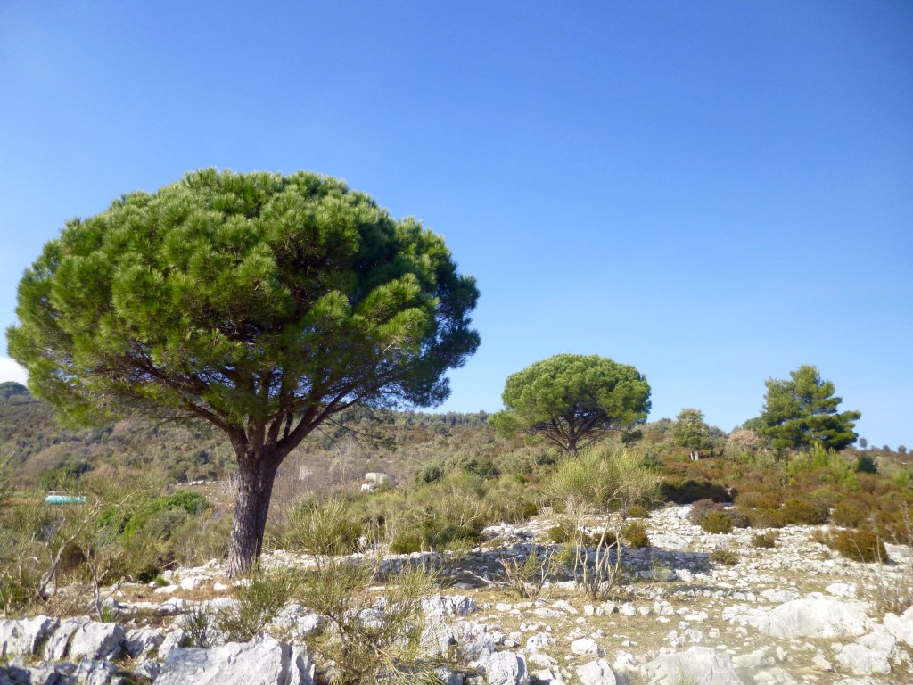
This walk is pure soul food, the sort of walk you should abscond for; take a day off, get a babysitter, make your excuses, and when that clear, sunny day arrives – get out there. You can read about my last visit in Feb 2016 here. Even thinking about it makes me smile.
See map below, more details coming soon...